ملف:Umpqua River Pacific Ocean.jpg
حجم هذه المعاينة: 800 × 530 بكسل. الأبعاد الأخرى: 320 × 212 بكسل | 640 × 424 بكسل | 1٬024 × 678 بكسل | 1٬500 × 993 بكسل.
الملف الأصلي (1٬500 × 993 بكسل حجم الملف: 420 كيلوبايت، نوع MIME: image/jpeg)
| هذا ملف من ويكيميديا كومنز. معلومات من صفحة وصفه مبينة في الأسفل. كومنز مستودع ملفات ميديا ذو رخصة حرة. |
| الوصف |
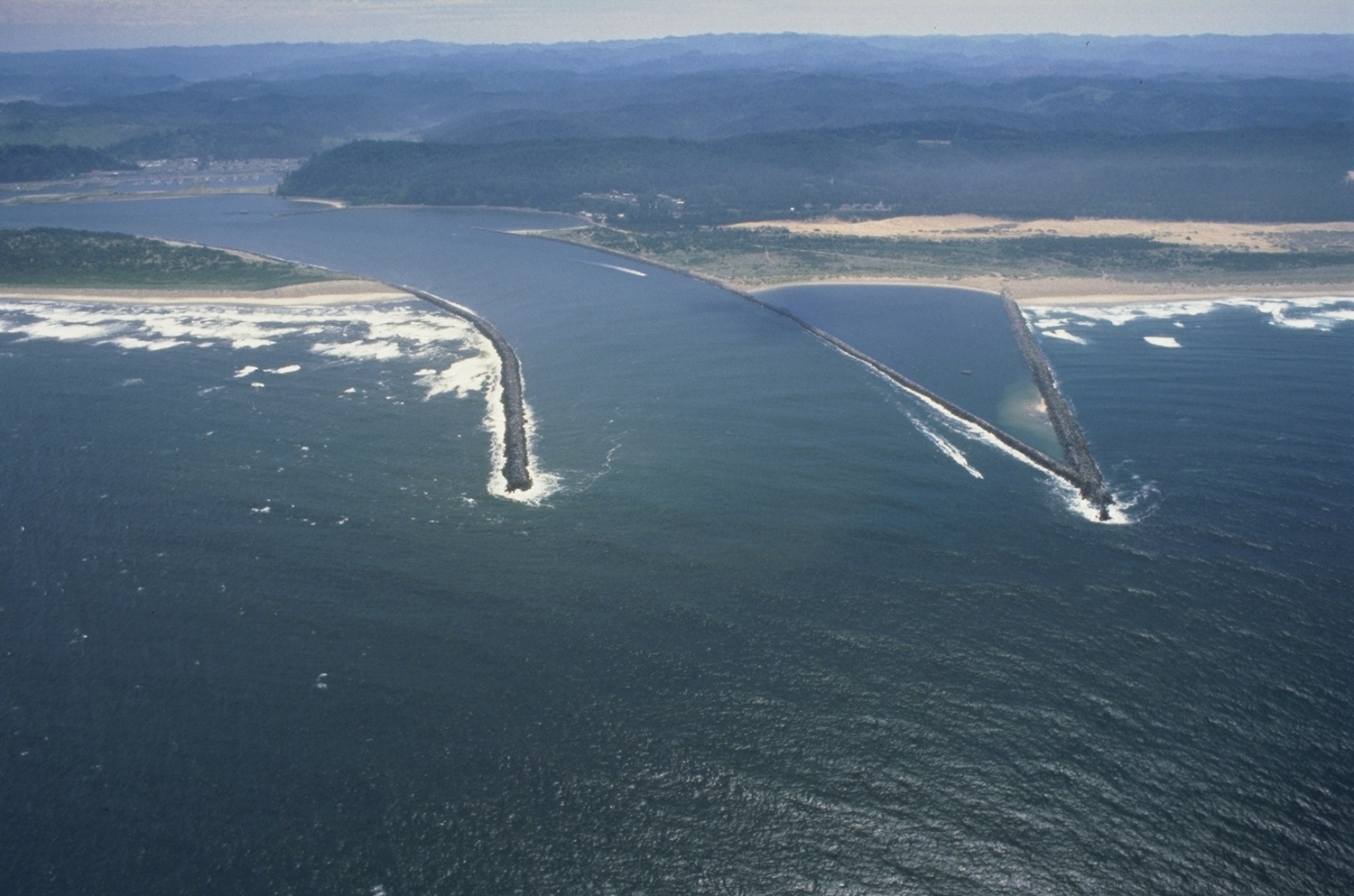
English: Aerial view of the mouth of the Umpqua River on the Pacific Ocean near Reedsport, Oregon, USA. |
|||
| الموقع | Reedsport, Douglas County, Oregon, USA 43°40′16.63″N 124°12′5.91″W / 43.6712861°N 124.2016417°W |
|||
| التاريخ | ||||
| المصدر |
U.S. Army Corps of Engineers Digital Visual Library Image page Image description page Digital Visual Library home page |
|||
| المؤلف | Bob Heims, U.S. Army Corps of Engineers | |||
| الترخيص (إعادة استخدام هذا الملف) |
|
تاريخ الملف
اضغط على زمن/تاريخ لرؤية الملف كما بدا في هذا الزمن.
| زمن/تاريخ | صورة مصغرة | الأبعاد | مستخدم | تعليق | |
|---|---|---|---|---|---|
| حالي | 03:57، 18 أبريل 2007 | | 1٬500 × 993 (420 كيلوبايت) | DanMS | {{Information2 | Description = {{en|Aerial view of the mouth of the Umpqua River on the Pacific Ocean near Reedsport, Oregon, USA.}} | Source = U.S. Army Corps of Engineers Digital Visual Library<br />[http://images.usace.army.mil/images/Hires/ |
استخدام الملف
الصفحة التالية تستخدم هذا الملف:
الاستخدام العالمي للملف
الويكيات الأخرى التالية تستخدم هذا الملف:
- الاستخدام في arz.wikipedia.org
- الاستخدام في ceb.wikipedia.org
- الاستخدام في de.wikipedia.org
- الاستخدام في en.wikipedia.org
- الاستخدام في es.wikipedia.org
- الاستخدام في fr.wikipedia.org
- الاستخدام في he.wikipedia.org
- الاستخدام في ru.wikipedia.org
- الاستخدام في uk.wikipedia.org
- الاستخدام في www.wikidata.org