ملف:US map - rivers and lakes.png
حجم هذه المعاينة: 776 × 600 بكسل. الأبعاد الأخرى: 311 × 240 بكسل | 621 × 480 بكسل | 994 × 768 بكسل | 1٬280 × 989 بكسل | 1٬584 × 1٬224 بكسل.
الملف الأصلي (1٬584 × 1٬224 بكسل حجم الملف: 301 كيلوبايت، نوع MIME: image/png)
| هذا ملف من ويكيميديا كومنز. معلومات من صفحة وصفه مبينة في الأسفل. كومنز مستودع ملفات ميديا ذو رخصة حرة. |

|
هذه map الصورة / الصورتان باستعمال رسومات متجهية ملفات رسوميات شعاعية.
It is recommended to name the SVG file "US map - rivers and lakes.svg" - then the template Vector version available (or Vva) does not need the new image name parameter.
|
ملخص
.
- Credits
- Author: US Department of Interior
- Source: http://nationalatlas.gov, there also available as PDF
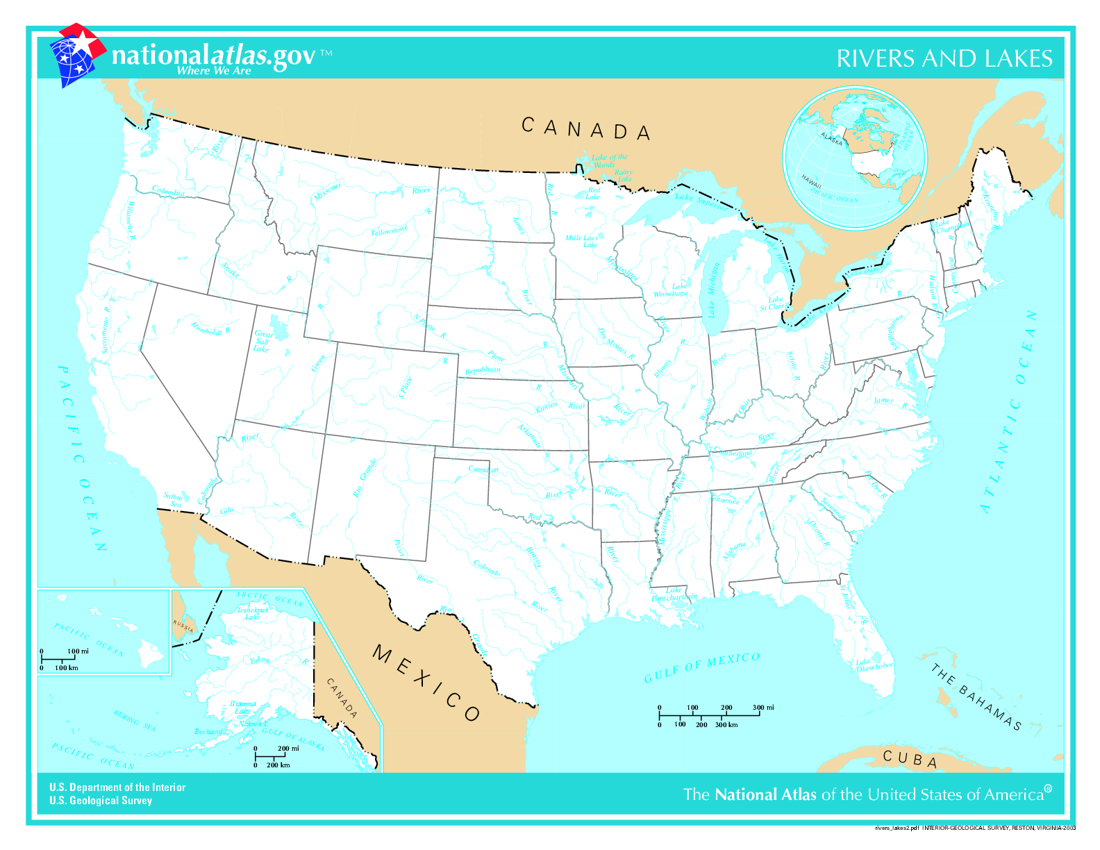
This map was obtained from an edition of the National Atlas of the United States. Like almost all works of the U.S. federal government, works from the National Atlas are in the public domain in the United States.
Online access: NationalAtlas.gov | 1970 print edition: Library of Congress, Perry-Castañeda Library
|
List of images provided by user Duesentrieb (This link helps me to find all my images) -- Duesentrieb
تاريخ الملف
اضغط على زمن/تاريخ لرؤية الملف كما بدا في هذا الزمن.
| زمن/تاريخ | صورة مصغرة | الأبعاد | مستخدم | تعليق | |
|---|---|---|---|---|---|
| حالي | 15:11، 12 نوفمبر 2004 | | 1٬584 × 1٬224 (301 كيلوبايت) | Duesentrieb | Rivers and lakes in the US; Dept. of Interior, Public Domain |
استخدام الملف
لا توجد صفحات تستخدم هذا الملف.
الاستخدام العالمي للملف
الويكيات الأخرى التالية تستخدم هذا الملف:
- الاستخدام في bg.wikipedia.org
- الاستخدام في fr.wikiversity.org
- الاستخدام في ro.wikipedia.org
- الاستخدام في sl.wikipedia.org
- الاستخدام في uk.wikipedia.org