ملف:USACE Claiborne Lock and Dam.jpg

حجم هذه المعاينة: 800 × 523 بكسل. الأبعاد الأخرى: 320 × 209 بكسل | 640 × 419 بكسل | 1٬024 × 670 بكسل | 1٬280 × 837 بكسل | 1٬685 × 1٬102 بكسل.
الملف الأصلي (1٬685 × 1٬102 بكسل حجم الملف: 428 كيلوبايت، نوع MIME: image/jpeg)
| هذا ملف من ويكيميديا كومنز. معلومات من صفحة وصفه مبينة في الأسفل. كومنز مستودع ملفات ميديا ذو رخصة حرة. |
| الوصف |
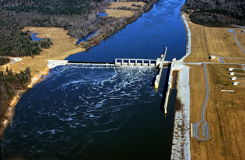
English: Aerial view of Claiborne Lock and Dam on the Alabama River in Monroe County, Alabama, USA. The dam is located approximately 5 miles (8 km) upriver from Claiborne, Alabama. The U.S. Army Corps of Engineers maintains the lock and dam for barge navigation on the river. View is upriver to the north.
Coordinates: 31°36′53.92″N 87°33′2.8″W / 31.6149778°N 87.550778°W |
|||
| الموقع | Monroe County, Alabama, USA | |||
| التاريخ | ||||
| المصدر |
U.S. Army Corps of Engineers Digital Visual Library Image page Image description page Digital Visual Library home page |
|||
| المؤلف | Adrien Lamarre, U.S. Army Corps of Engineers | |||
| الترخيص (إعادة استخدام هذا الملف) |
|
تاريخ الملف
اضغط على زمن/تاريخ لرؤية الملف كما بدا في هذا الزمن.
| زمن/تاريخ | صورة مصغرة | الأبعاد | مستخدم | تعليق | |
|---|---|---|---|---|---|
| حالي | 20:19، 28 أبريل 2007 | | 1٬685 × 1٬102 (428 كيلوبايت) | DanMS | {{Information | Description = {{en|Aerial view of Claiborne Lock and Dam on the Alabama River in Monroe County, Alabama, USA. The dam is located approximately 5 miles (8 km) upriver from Claiborne, Alabama. The U.S. Army Corps of Engineers maintains th |
استخدام الملف
الصفحة التالية تستخدم هذا الملف:
الاستخدام العالمي للملف
الويكيات الأخرى التالية تستخدم هذا الملف:
- الاستخدام في de.wikipedia.org
- الاستخدام في en.wikipedia.org
- الاستخدام في fr.wikipedia.org
- الاستخدام في fy.wikipedia.org
- الاستخدام في ja.wikipedia.org
- الاستخدام في jv.wikipedia.org
- الاستخدام في xmf.wikipedia.org