ملف:Ross and Cromarty UK location map.svg

حجم معاينة PNG لذلك الملف ذي الامتداد SVG: 610 × 599 بكسل. الأبعاد الأخرى: 244 × 240 بكسل | 489 × 480 بكسل | 782 × 768 بكسل | 1٬042 × 1٬024 بكسل | 2٬085 × 2٬048 بكسل | 1٬425 × 1٬400 بكسل.
الملف الأصلي (ملف SVG، أبعاده 1٬425 × 1٬400 بكسل، حجم الملف: 3٫04 ميجابايت)
| هذا ملف من ويكيميديا كومنز. معلومات من صفحة وصفه مبينة في الأسفل. كومنز مستودع ملفات ميديا ذو رخصة حرة. |
| الوصف |
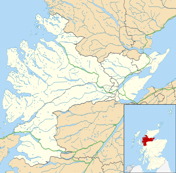
Map of Ross and Cromarty, UK in 2011, with the following information shown:
Equirectangular map projection on WGS 84 datum, with N/S stretched 180% Geographic limits:
|
| التاريخ | |
| المصدر |
|
| المؤلف | Nilfanion, created using Ordnance Survey data |
| الترخيص (إعادة استخدام هذا الملف) |
هذا الملفُّ مُرخَّص بموجب رخصة المشاع الإبداعي نسبة المُصنَّف إِلى مُؤَلِّفه - المشاركة بالمثل 3.0 العامة نسب العمل لمُؤَلِّفه: Contains Ordnance Survey data © Crown copyright and database right
|
| إصدارات أخرى | File:Ross and Cromarty UK blank map.svg - Blank map |
تاريخ الملف
اضغط على زمن/تاريخ لرؤية الملف كما بدا في هذا الزمن.
| زمن/تاريخ | صورة مصغرة | الأبعاد | مستخدم | تعليق | |
|---|---|---|---|---|---|
| حالي | 23:31، 4 مارس 2011 | | 1٬425 × 1٬400 (3٫04 ميجابايت) | Nilfanion | {{Information |Description=Map of Ross and Cromarty, UK in 2011, with the following information shown: *Ward boundaries *Coastline and lakes *Roads and railways *Urban areas Equirectangular map projection on WGS 84 datum, with N/S |
استخدام الملف
الصفحة التالية تستخدم هذا الملف:
الاستخدام العالمي للملف
الويكيات الأخرى التالية تستخدم هذا الملف:
- الاستخدام في be.wikipedia.org
- الاستخدام في br.wikipedia.org
- الاستخدام في ceb.wikipedia.org
- الاستخدام في en.wikipedia.org
- Achduart
- Achiltibuie
- Cromarty
- Gairloch
- Ullapool
- Dingwall
- Fortrose
- Kyle of Lochalsh
- Lochcarron
- Culbokie
- Portmahomack
- Hill of Fearn
- Strathpeffer
- Loch Kishorn
- Glenelg, Highland
- Saltburn, Ross and Cromarty
- Dornie
- Invergordon
- Applecross
- Hilton of Cadboll
- Achanalt
- Achandunie
- Alness
- Rosemarkie
- Achintraid
- Ardarroch
- Evanton
- Kildary
- Jemimaville
- Shieldaig
- Kinlochewe
- Poolewe
- Scoraig
- Victoria Park, Dingwall
- Coigach
- Conon Bridge
- North Kessock
- Munlochy
- Edderton
- Duirinish, Lochalsh
- Garve
- Muir of Ord
- Corran, Loch Hourn
- Milton, Easter Ross
- HMS Fieldfare
- Maryburgh
- Nigg, Highland
اعرض المزيد من الاستخدام العام لهذا الملف.