ملف:Ocean City Maryland aerial view north.jpg
حجم هذه المعاينة: 800 × 534 بكسل. الأبعاد الأخرى: 320 × 214 بكسل | 640 × 427 بكسل | 1٬024 × 683 بكسل | 1٬500 × 1٬001 بكسل.
الملف الأصلي (1٬500 × 1٬001 بكسل حجم الملف: 753 كيلوبايت، نوع MIME: image/jpeg)
| هذا ملف من ويكيميديا كومنز. معلومات من صفحة وصفه مبينة في الأسفل. كومنز مستودع ملفات ميديا ذو رخصة حرة. |
| الوصف |
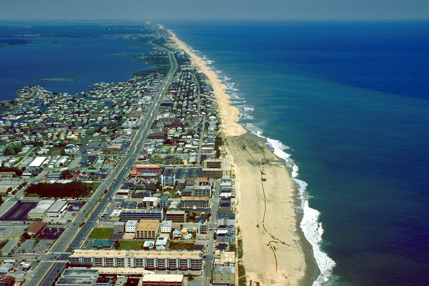
English: Aerial view of Ocean City, Maryland, USA. View is to the north-northeast. |
|||
| التاريخ | ||||
| المصدر |
U.S. Army Corps of Engineers Digital Visual Library Image page Image description page Digital Visual Library home page |
|||
| المؤلف | Tex Jobe, U.S. Army Corps of Engineers | |||
| الترخيص (إعادة استخدام هذا الملف) |
|
|||
| الموقع | Ocean City, Maryland, USA |
| موقع آلة التصوير | | هذه وغيرها من الصور في مواقعها على: خريطة الشارع المفتوحة |
|---|
تاريخ الملف
اضغط على زمن/تاريخ لرؤية الملف كما بدا في هذا الزمن.
| زمن/تاريخ | صورة مصغرة | الأبعاد | مستخدم | تعليق | |
|---|---|---|---|---|---|
| حالي | 01:10، 8 أبريل 2007 | | 1٬500 × 1٬001 (753 كيلوبايت) | DanMS | {{Information | Description = {{en|Aerial view of Ocean City, Maryland, USA. View is to the north-northeast.}} | Source = U.S. Army Corps of Engineers Digital Visual Library<br />[http://images.usace.army.mil/images/Hires/0454-12.Jpg Image page |
استخدام الملف
الصفحة التالية تستخدم هذا الملف:
الاستخدام العالمي للملف
الويكيات الأخرى التالية تستخدم هذا الملف:
- الاستخدام في bg.wikipedia.org
- الاستخدام في bo.wikipedia.org
- الاستخدام في ca.wikipedia.org
- الاستخدام في de.wikipedia.org
- الاستخدام في en.wikipedia.org
- الاستخدام في es.wikipedia.org
- الاستخدام في fa.wikipedia.org
- الاستخدام في fr.wikipedia.org
- الاستخدام في hak.wikipedia.org
- الاستخدام في hi.wikipedia.org
- الاستخدام في hu.wikipedia.org
- الاستخدام في ilo.wikipedia.org
- الاستخدام في is.wikipedia.org
- الاستخدام في it.wikipedia.org
- الاستخدام في ja.wikipedia.org
- الاستخدام في kn.wikipedia.org
- الاستخدام في pam.wikipedia.org
- الاستخدام في pl.wikipedia.org
- الاستخدام في pt.wikipedia.org
- الاستخدام في tr.wikipedia.org
- الاستخدام في ur.wikipedia.org
- الاستخدام في zh.wikipedia.org