ملف:Location map United Kingdom Borough of West Lancashire.svg

حجم معاينة PNG لذلك الملف ذي الامتداد SVG: 538 × 599 بكسل. الأبعاد الأخرى: 216 × 240 بكسل | 431 × 480 بكسل | 690 × 768 بكسل | 920 × 1٬024 بكسل | 1٬839 × 2٬048 بكسل | 1٬173 × 1٬306 بكسل.
الملف الأصلي (ملف SVG، أبعاده 1٬173 × 1٬306 بكسل، حجم الملف: 5٫92 ميجابايت)
| هذا ملف من ويكيميديا كومنز. معلومات من صفحة وصفه مبينة في الأسفل. كومنز مستودع ملفات ميديا ذو رخصة حرة. |
ملخص
| الوصف |
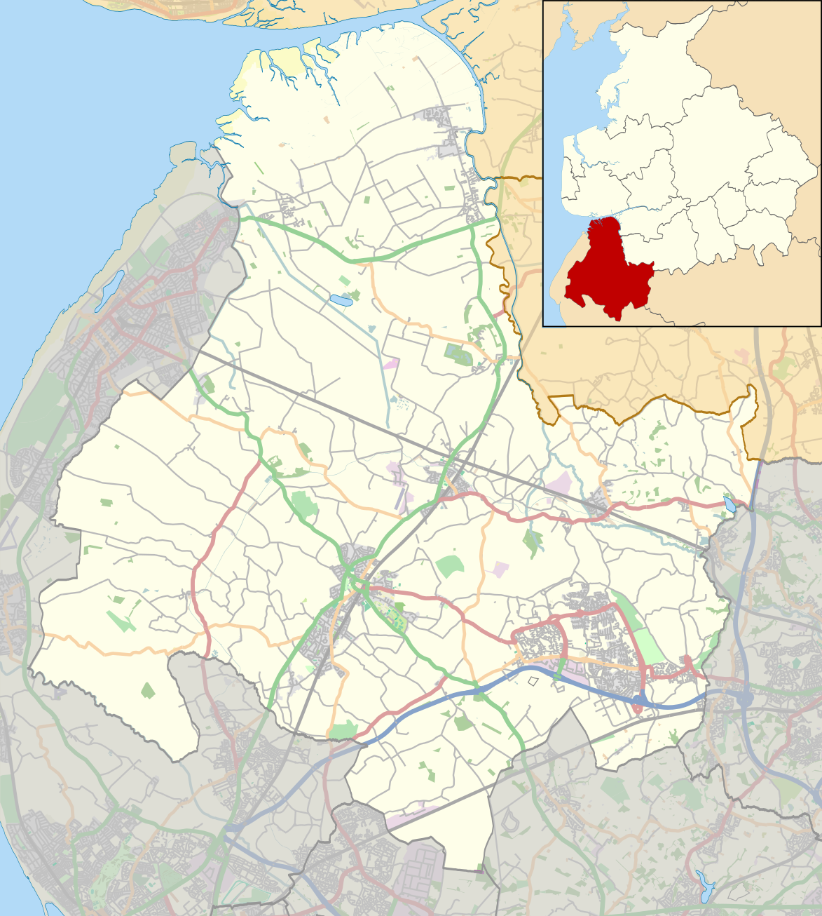
English: Map of the Borough of West Lancashire, England.
Equirectangular map projection on WGS 84 datum, with N/S stretched 165% Geographic limits:
|
| التاريخ | |
| المصدر |
هذا الملفُّ مُشتقٌ مِن : West Lancashire UK ward map 2010 (blank).svg: |
| المؤلف |
|
.svg)
ترخيص
| يحتوي على بيانات خريطة مساهمي خريطة الشارع المفتوحة، التي تكون متاحة بموجب شروط رخصة قاعدة بيانات حرة (ODbL).
لا تتطلب رخصة قاعدة البيانات الحرة أي ترخيص معين للخرائط المنتجة من بيانات رخصة قاعدة البيانات الحرة; إن تراكيب الخرائط التي تنتجها مؤسسة خريطة الشارع المفتوحة مرخصة بموجب الترخيص CC-BY-SA-2.0، ولكن الخرائط التي ينتجها أشخاص آخرون قد تخضع لرخص أخرى. |
هذا الملف مُرخص تحت رخصة المشاع المبدع نسبة المصنف إلى مؤلفه - المشاركة على قدم المساواة 2.0 العامة
نسب العمل لمُؤَلِّفه: © OpenStreetMap contributors. Contains Ordnance Survey data © Crown copyright and database right 2012.
- يحقُّ لك:
- مشاركة العمل – نسخ العمل وتوزيعه وبثُّه
- إعادة إنتاج العمل – تعديل العمل
- حسب الشروط التالية:
- نسب العمل إلى مُؤَلِّفه – يلزم نسب العمل إلى مُؤَلِّفه بشكل مناسب وتوفير رابط للرخصة وتحديد ما إذا أجريت تغييرات. بالإمكان القيام بذلك بأية طريقة معقولة، ولكن ليس بأية طريقة تشير إلى أن المرخِّص يوافقك على الاستعمال.
- الإلزام بترخيص المُشتقات بالمثل – إذا أعدت إنتاج المواد أو غيرت فيها، فيلزم أن تنشر مساهماتك المُشتقَّة عن الأصل تحت ترخيص الأصل نفسه أو تحت ترخيص مُتوافِقٍ معه.
تاريخ الملف
اضغط على زمن/تاريخ لرؤية الملف كما بدا في هذا الزمن.
| زمن/تاريخ | صورة مصغرة | الأبعاد | مستخدم | تعليق | |
|---|---|---|---|---|---|
| حالي | 21:44، 31 يوليو 2014 | | 1٬173 × 1٬306 (5٫92 ميجابايت) | Dr Greg | User created page with UploadWizard |
استخدام الملف
الصفحتان التاليتان تستخدمان هذا الملف:
الاستخدام العالمي للملف
الويكيات الأخرى التالية تستخدم هذا الملف:
- الاستخدام في azb.wikipedia.org
- الاستخدام في en.wikipedia.org
- WWT Martin Mere
- Ormskirk
- Parbold
- West Lancashire
- Up Holland
- Scarisbrick
- Great Altcar
- Burscough
- Scarisbrick Hall
- Burscough Priory
- Lathom
- Downholland Cross
- Haskayne
- Tarleton
- Barrow Nook
- Rufford, Lancashire
- Aughton, Lancashire
- Bickerstaffe
- Appley Bridge
- Bispham Green
- Simonswood
- Halsall
- Martin Mere
- Shirdley Hill
- North Meols
- Rufford Old Hall
- Holmeswood
- Hesketh Bank
- Banks, Lancashire
- Downholland
- Wrightington Bar
- Drummersdale
- Newburgh, Lancashire
- Rufford New Hall
- Mere Brow
- St Michael and All Angels Church, Altcar
- Dalton, Lancashire
- Tower Hill Water Tower
- Greaves Hall
- Sollom
- Skelmersdale
- Holmes, Lancashire
- Hundred End
- Tarlscough
- Up Holland Priory
- St Mary's Church, Tarleton
- Becconsall Old Church
اعرض المزيد من الاستخدام العام لهذا الملف.