ملف:Karkota Empire, India (derived).jpg
حجم هذه المعاينة: 800 × 590 بكسل. الأبعاد الأخرى: 320 × 236 بكسل | 640 × 472 بكسل | 1٬000 × 737 بكسل.
الملف الأصلي (1٬000 × 737 بكسل حجم الملف: 109 كيلوبايت، نوع MIME: image/jpeg)
| هذا ملف من ويكيميديا كومنز. معلومات من صفحة وصفه مبينة في الأسفل. كومنز مستودع ملفات ميديا ذو رخصة حرة. |
.jpg)
ملخص
| الوصف |
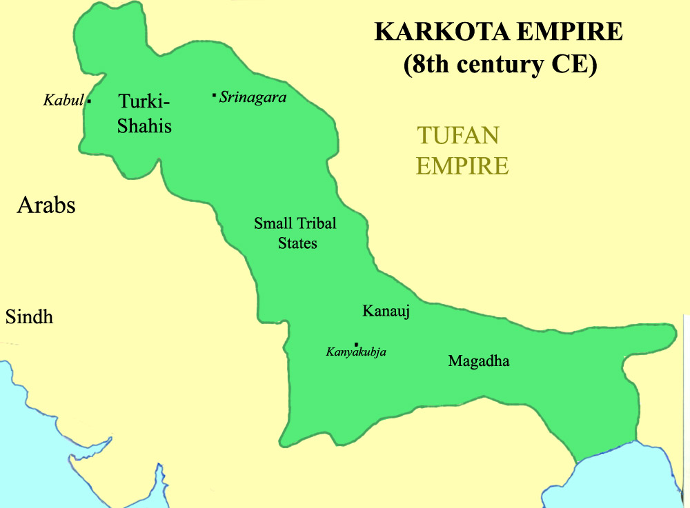
English: Extent of the Karkota Empire in 8th century CE |
| التاريخ | |
| المصدر | The boundaries are similar (though not exactly same) as the ones depicted in Joseph E. Schwartzberg's A Historical Atlas of South Asia (1992), Plate XIV.2 (page 146) [1] |
| المؤلف | Ἀλέξανδρος ὁ Μέγας |
The file is derived from a previous version (on 5 January 2012) of File:Karkota Empire, India.jpg created by User:Ἀλέξανδρος ὁ Μέγας
ترخيص
هذا الملفُّ مُرخَّص بموجب رخصة المشاع الإبداعي نسبة المُصنَّف إِلى مُؤَلِّفه - المشاركة بالمثل 3.0 العامة
- يحقُّ لك:
- مشاركة العمل – نسخ العمل وتوزيعه وبثُّه
- إعادة إنتاج العمل – تعديل العمل
- حسب الشروط التالية:
- نسب العمل إلى مُؤَلِّفه – يلزم نسب العمل إلى مُؤَلِّفه بشكل مناسب وتوفير رابط للرخصة وتحديد ما إذا أجريت تغييرات. بالإمكان القيام بذلك بأية طريقة معقولة، ولكن ليس بأية طريقة تشير إلى أن المرخِّص يوافقك على الاستعمال.
- الإلزام بترخيص المُشتقات بالمثل – إذا أعدت إنتاج المواد أو غيرت فيها، فيلزم أن تنشر مساهماتك المُشتقَّة عن الأصل تحت ترخيص الأصل نفسه أو تحت ترخيص مُتوافِقٍ معه.
تاريخ الملف
اضغط على زمن/تاريخ لرؤية الملف كما بدا في هذا الزمن.
| زمن/تاريخ | صورة مصغرة | الأبعاد | مستخدم | تعليق | |
|---|---|---|---|---|---|
| حالي | 01:36، 14 فبراير 2013 | | 1٬000 × 737 (109 كيلوبايت) | Amitrochates | User created page with UploadWizard |
استخدام الملف
الصفحة التالية تستخدم هذا الملف:
الاستخدام العالمي للملف
الويكيات الأخرى التالية تستخدم هذا الملف:
- الاستخدام في bn.wikipedia.org
- الاستخدام في de.wikipedia.org
- الاستخدام في en.wikipedia.org
- الاستخدام في es.wikipedia.org
- الاستخدام في hi.wikipedia.org
- الاستخدام في ml.wikipedia.org
- الاستخدام في ne.wikipedia.org
- الاستخدام في pt.wikipedia.org
- الاستخدام في ta.wikipedia.org
- الاستخدام في te.wikipedia.org
- الاستخدام في uk.wikipedia.org
- الاستخدام في www.wikidata.org
- الاستخدام في zh.wikipedia.org
.jpg)