ملف:Israel adm location map.svg

الملف الأصلي (ملف SVG، أبعاده 614 × 1٬141 بكسل، حجم الملف: 124 كيلوبايت)
| هذا ملف من ويكيميديا كومنز. معلومات من صفحة وصفه مبينة في الأسفل. كومنز مستودع ملفات ميديا ذو رخصة حرة. |
ملخص
| الوصف |
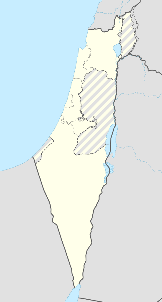
Deutsch: Positionskarte von Israel
English: Location map of Israel
|
||||||||||||
| التاريخ | |||||||||||||
| المصدر |
Own work using:
|
||||||||||||
| المؤلف | NordNordWest | ||||||||||||
| SVG منشأ الملف | الشيفرة المصدرية لهذا الرسم المتجه صالحة. هذا الرسم المتجهي أُنشئ بواسطة Adobe Illustrator
|
||||||||||||

ترخيص
Usage of this file with:

explanatory notes: Legally binding is only the full legalcode. For a free usage I recommend to respect the following licence conditions:
1. Provide my name as given above: NordNordWest,
2. a copy of, or the URI for, the applicable license: https://creativecommons.org/licenses/by-sa/3.0/de/legalcode,
3. the title of the work,
4. in the case of an adaptation, a credit identifying the use of the work in the adaptation.
This license and the rights granted hereunder will terminate automatically upon any breach by you of the terms of this license. Any of the above conditions can be waived if you get permission from the copyright holder. If you have questions or wish differing conditions, please contact me through nnwest or my discussion page ![]() t-online.de
t-online.de
- يحقُّ لك:
- مشاركة العمل – نسخ العمل وتوزيعه وبثُّه
- إعادة إنتاج العمل – تعديل العمل
- حسب الشروط التالية:
- نسب العمل إلى مُؤَلِّفه – يلزم نسب العمل إلى مُؤَلِّفه بشكل مناسب وتوفير رابط للرخصة وتحديد ما إذا أجريت تغييرات. بالإمكان القيام بذلك بأية طريقة معقولة، ولكن ليس بأية طريقة تشير إلى أن المرخِّص يوافقك على الاستعمال.
- الإلزام بترخيص المُشتقات بالمثل – إذا أعدت إنتاج المواد أو غيرت فيها، فيلزم أن تنشر مساهماتك المُشتقَّة عن الأصل تحت ترخيص الأصل نفسه أو تحت ترخيص مُتوافِقٍ معه.

تاريخ الملف
اضغط على زمن/تاريخ لرؤية الملف كما بدا في هذا الزمن.
| زمن/تاريخ | صورة مصغرة | الأبعاد | مستخدم | تعليق | |
|---|---|---|---|---|---|
| حالي | 08:27، 19 سبتمبر 2016 | | 614 × 1٬141 (124 كيلوبايت) | NordNordWest | Reverted to version as of 18:01, 18 September 2016 (UTC); AGAIN: upload your version as a new file please |
| 20:23، 18 سبتمبر 2016 |  | 461 × 856 (80 كيلوبايت) | Salvabl | Highest quality, with the Israeli territories in the West Bank (Area C) | |
| 20:17، 18 سبتمبر 2016 |  | 614 × 1٬141 (124 كيلوبايت) | Salvabl | Reverted to version as of 18:01, 18 September 2016 (UTC) | |
| 19:28، 18 سبتمبر 2016 |  | 614 × 1٬141 (186 كيلوبايت) | Salvabl | Reverted to version as of 17:40, 18 September 2016 (UTC) | |
| 18:01، 18 سبتمبر 2016 |  | 614 × 1٬141 (124 كيلوبايت) | NordNordWest | Reverted to version as of 17:12, 25 October 2015 (UTC), upload your version as a new file please | |
| 17:40، 18 سبتمبر 2016 |  | 614 × 1٬141 (186 كيلوبايت) | Salvabl | Added the Area C (Israeli territories in the West Bank) | |
| 17:12، 25 أكتوبر 2015 |  | 614 × 1٬141 (124 كيلوبايت) | NordNordWest | more exact Jerusalem boundary | |
| 17:29، 9 سبتمبر 2014 |  | 614 × 1٬141 (123 كيلوبايت) | NordNordWest | == {{int:filedesc}} == {{Information |Description= {{de|1=Positionskarte von Israel}} {{en|1=Location map of Israel}} {{Location map series N |top=33.5 |bottom=29.3 |left=33.7 |right=36.3 }} |Source={{Own using}} * United States National Imagery and Ma... |
استخدام الملف
لا توجد صفحات تستخدم هذا الملف.
الاستخدام العالمي للملف
الويكيات الأخرى التالية تستخدم هذا الملف:
- الاستخدام في de.wikipedia.org
- Jerusalem
- Tel Aviv-Jaffa
- Haifa
- Akkon
- Nazareth
- Cholon
- Bet Guvrin
- En Hod
- Zichron Jaʿakov
- Nachscholim
- Dan (Kibbuz)
- Jokne’am
- Karmi’el
- Maʿalot-Tarschiha
- Kirjat Tiw’on
- Kirjat Schmona
- Migdal haEmek
- Kirjat Mal’achi
- Tiberias
- Degania
- Afula
- En Gedi
- En Dor
- Jotvata
- Aschkelon
- Jad Mordechai
- Chadera
- Lochamej haGeta’ot
- Tabgha
- Ginnossar
- Eilat
- Schawe Zion
- Jagur
- Netanja
- Naharija
- Kfar Saba
- Rosch haNikra
- Benutzer Diskussion:Leshonai
- Maʿagan Micha’el
- Sderot
- Jerocham
- Palmachim
- Rischon LeZion
- Kabul (Israel)
- Nahalal
- Bet Schemesch
- Lod
- Be’er Scheva
- Sdot Jam
- Safed
اعرض المزيد من الاستخدام العام لهذا الملف.