ملف:Gloucestershire UK location map.svg

حجم معاينة PNG لذلك الملف ذي الامتداد SVG: 516 × 600 بكسل. الأبعاد الأخرى: 206 × 240 بكسل | 413 × 480 بكسل | 661 × 768 بكسل | 881 × 1٬024 بكسل | 1٬762 × 2٬048 بكسل | 1٬089 × 1٬266 بكسل.
الملف الأصلي (ملف SVG، أبعاده 1٬089 × 1٬266 بكسل، حجم الملف: 2٫27 ميجابايت)
| هذا ملف من ويكيميديا كومنز. معلومات من صفحة وصفه مبينة في الأسفل. كومنز مستودع ملفات ميديا ذو رخصة حرة. |
| الوصف |
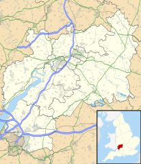
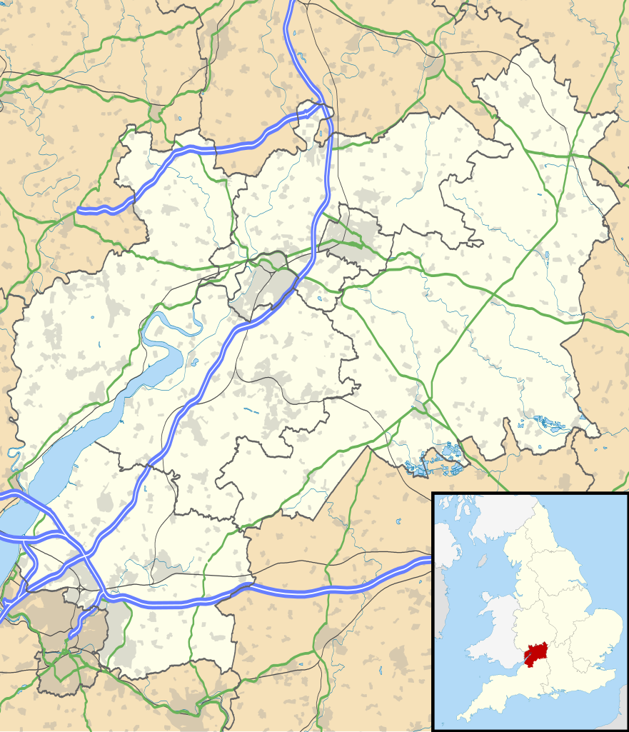
Map of Gloucestershire, UK with the following information shown:
Equirectangular map projection on WGS 84 datum, with N/S stretched 160% Geographic limits:
|
| التاريخ | |
| المصدر |
|
| المؤلف | Nilfanion, created using Ordnance Survey data |
| الترخيص (إعادة استخدام هذا الملف) |
هذا الملفُّ مُرخَّص بموجب رخصة المشاع الإبداعي نسبة المُصنَّف إِلى مُؤَلِّفه - المشاركة بالمثل 3.0 العامة نسب العمل لمُؤَلِّفه: Contains Ordnance Survey data © Crown copyright and database right
|
| إصدارات أخرى | File:Gloucestershire UK district map (blank).svg - Blank map |
.svg)
تاريخ الملف
اضغط على زمن/تاريخ لرؤية الملف كما بدا في هذا الزمن.
| زمن/تاريخ | صورة مصغرة | الأبعاد | مستخدم | تعليق | |
|---|---|---|---|---|---|
| حالي | 18:53، 26 سبتمبر 2010 | | 1٬089 × 1٬266 (2٫27 ميجابايت) | Nilfanion | {{Information |Description=Map of Gloucestershire, UK with the following information shown: *Administrative borders *Coastline, lakes and rivers *Roads and railways *Urban areas Equirectangular map projection on WGS 84 datum, with N |
استخدام الملف
الصفحة التالية تستخدم هذا الملف:
الاستخدام العالمي للملف
الويكيات الأخرى التالية تستخدم هذا الملف:
- الاستخدام في bg.wikipedia.org
- الاستخدام في bn.wikipedia.org
- الاستخدام في ceb.wikipedia.org
- الاستخدام في en.wikipedia.org
- Stow-on-the-Wold
- Deerhurst
- Thornbury, Gloucestershire
- WWT Slimbridge
- Dymock
- Bradley Stoke
- Dursley
- Cirencester
- Chedworth
- Kempley
- Yate
- Tewkesbury
- Stroud
- Moreton-in-Marsh
- Chipping Campden
- Lechlade
- Painswick
- Winchcombe
- Winterbourne, Gloucestershire
- Cinderford
- Lydney
- Berkeley, Gloucestershire
- Berkeley Castle
- Kingswood, South Gloucestershire
- RAF Fairford
- Newent
- Nailsworth
- Wotton-under-Edge
- North Nibley
- Charfield
- Chipping Sodbury
اعرض المزيد من الاستخدام العام لهذا الملف.