ملف:East Sussex outline map with UK.png
لا توجد دقة أعلى متوفرة.
East_Sussex_outline_map_with_UK.png (800 × 558 بكسل حجم الملف: 170 كيلوبايت، نوع MIME: image/png)
| هذا ملف من ويكيميديا كومنز. معلومات من صفحة وصفه مبينة في الأسفل. كومنز مستودع ملفات ميديا ذو رخصة حرة. |
ملخص
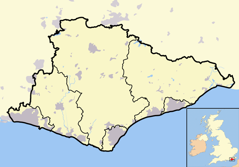
| الوصف | Map of the county of East Sussex, England, United Kingdom. In the bottom-left hand corner of the image is a mini-map of the British Isles showing the location and relative size of East Sussex in red. On the main map, urban areas are in grey while rural areas are in yellow; the blue lines are rivers. |
| التاريخ | |
| المصدر | Completely self-made, but boundaries and features can be verified via a variety of sources including (but not exclusive to) the Fifth periodical report - Volume 3 Mapping for the London Boroughs and the Metropolitan Counties by the Boundary Commission for England. |
| المؤلف | Jhamez84 |
ترخيص
| أنا، مالِك حقوق تأليف ونشر هذا العمل، أجعله في النِّطاق العامِّ، يسري هذا في أرجاء العالم كلِّه. في بعض البلدان، قد يكون هذا التَّرخيص غيرَ مُمكنٍ قانونيَّاً، في هذه الحالة: أمنح الجميع حق استخدام هذا العمل لأي غرض دون أي شرط ما لم يفرض القانون شروطًا إضافية. |
تاريخ الملف
اضغط على زمن/تاريخ لرؤية الملف كما بدا في هذا الزمن.
| زمن/تاريخ | صورة مصغرة | الأبعاد | مستخدم | تعليق | |
|---|---|---|---|---|---|
| حالي | 17:26، 15 ديسمبر 2007 | | 800 × 558 (170 كيلوبايت) | Jza84 | lightening non-county territory |
| 17:10، 15 ديسمبر 2007 |  | 800 × 558 (171 كيلوبايت) | Jza84 | {{Information |Description=Map of the county of East Sussex, England, United Kingdom |Source=self-made |Date=December 2007 |Author= Jhamez84 |Permission=See below |other_versions=None }} |
استخدام الملف
الصفحة التالية تستخدم هذا الملف:
الاستخدام العالمي للملف
الويكيات الأخرى التالية تستخدم هذا الملف:
- الاستخدام في ca.wikipedia.org
- الاستخدام في ceb.wikipedia.org
- الاستخدام في en.wikipedia.org
- الاستخدام في eo.wikipedia.org
- الاستخدام في ml.wikipedia.org
- الاستخدام في pt.wikipedia.org
- الاستخدام في qu.wikipedia.org
- الاستخدام في ro.wikipedia.org
- الاستخدام في sv.wikipedia.org
- الاستخدام في tr.wikipedia.org
- الاستخدام في uk.wikipedia.org
- الاستخدام في vi.wikipedia.org
- الاستخدام في vo.wikipedia.org
- الاستخدام في www.wikidata.org