ملف:East Dunbartonshire UK location map.svg

حجم معاينة PNG لذلك الملف ذي الامتداد SVG: 668 × 600 بكسل. الأبعاد الأخرى: 267 × 240 بكسل | 535 × 480 بكسل | 856 × 768 بكسل | 1٬141 × 1٬024 بكسل | 2٬282 × 2٬048 بكسل | 1٬425 × 1٬279 بكسل.
الملف الأصلي (ملف SVG، أبعاده 1٬425 × 1٬279 بكسل، حجم الملف: 834 كيلوبايت)
| هذا ملف من ويكيميديا كومنز. معلومات من صفحة وصفه مبينة في الأسفل. كومنز مستودع ملفات ميديا ذو رخصة حرة. |
| الوصف |
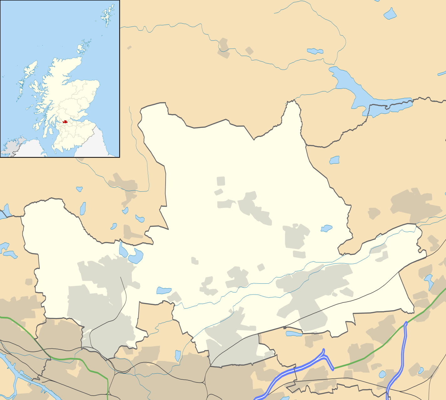
Blank map of East Dunbartonshire, UK with the following information shown:
Equirectangular map projection on WGS 84 datum, with N/S stretched 175% Geographic limits:
|
| التاريخ | |
| المصدر |
|
| المؤلف | Nilfanion, created using Ordnance Survey data |
| الترخيص (إعادة استخدام هذا الملف) |
هذا الملفُّ مُرخَّص بموجب رخصة المشاع الإبداعي نسبة المُصنَّف إِلى مُؤَلِّفه - المشاركة بالمثل 3.0 العامة نسب العمل لمُؤَلِّفه: Contains Ordnance Survey data © Crown copyright and database right
|
| إصدارات أخرى | File:East Dunbartonshire UK blank map.svg - Blank map |
تاريخ الملف
اضغط على زمن/تاريخ لرؤية الملف كما بدا في هذا الزمن.
| زمن/تاريخ | صورة مصغرة | الأبعاد | مستخدم | تعليق | |
|---|---|---|---|---|---|
| حالي | 20:12، 26 سبتمبر 2010 | | 1٬425 × 1٬279 (834 كيلوبايت) | Nilfanion | {{Information |Description=Blank map of East Dunbartonshire, UK with the following information shown: *Administrative borders *Coastline, lakes and rivers *Roads and railways *Urban areas Equirectangular map projection on WGS 84 |
استخدام الملف
الصفحة التالية تستخدم هذا الملف:
الاستخدام العالمي للملف
الويكيات الأخرى التالية تستخدم هذا الملف:
- الاستخدام في bg.wikipedia.org
- الاستخدام في ceb.wikipedia.org
- الاستخدام في de.wikipedia.org
- الاستخدام في en.wikipedia.org
- Milngavie
- East Dunbartonshire
- Bishopbriggs
- Bearsden
- Kirkintilloch
- Lenzie
- Cadder
- Colston, Glasgow
- Twechar
- Baldernock
- Torrance, East Dunbartonshire
- Lennoxtown
- Balmore
- Birdston
- Auchinairn
- Auchenreoch
- Waterside, East Dunbartonshire
- Woodilee Hospital
- Clachan of Campsie
- Milton of Campsie
- Module:Location map/data/Scotland East Dunbartonshire/doc
- Auld Aisle Cemetery
- Kirkintilloch Town Hall
- Haughhead
- Woodilee Village
- Bardowie
- Barnellan
- Module:Location map/data/Scotland East Dunbartonshire
- Broomhill Hospital
- Canniesburn Hospital
- الاستخدام في eo.wikipedia.org
- الاستخدام في es.wikipedia.org
- الاستخدام في fa.wikipedia.org
- الاستخدام في fr.wikipedia.org
اعرض المزيد من الاستخدام العام لهذا الملف.