ملف:Dundee UK location map.svg

حجم معاينة PNG لذلك الملف ذي الامتداد SVG: 768 × 599 بكسل. الأبعاد الأخرى: 308 × 240 بكسل | 615 × 480 بكسل | 984 × 768 بكسل | 1٬280 × 999 بكسل | 2٬560 × 1٬998 بكسل | 1٬425 × 1٬112 بكسل.
الملف الأصلي (ملف SVG، أبعاده 1٬425 × 1٬112 بكسل، حجم الملف: 717 كيلوبايت)
| هذا ملف من ويكيميديا كومنز. معلومات من صفحة وصفه مبينة في الأسفل. كومنز مستودع ملفات ميديا ذو رخصة حرة. |
| الوصف |
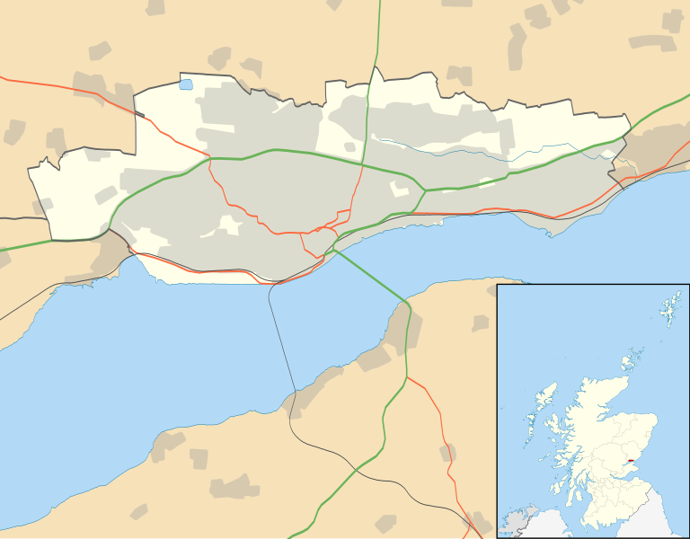
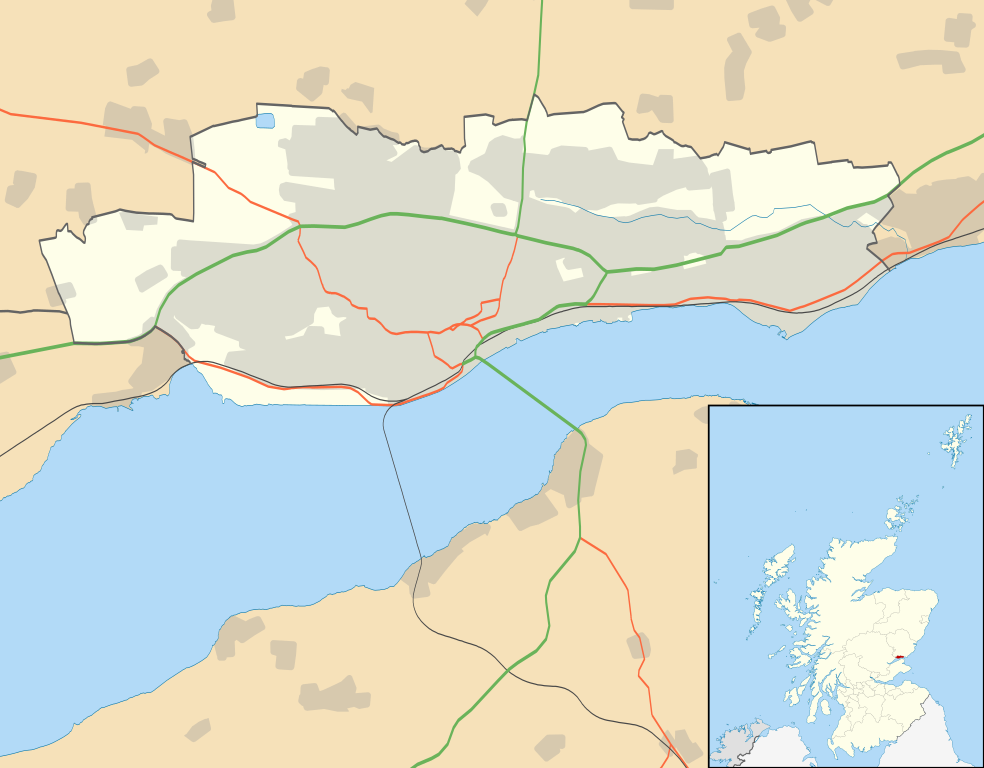
Blank map of Dundee, UK with the following information shown:
Equirectangular map projection on WGS 84 datum, with N/S stretched 170% Geographic limits:
|
| التاريخ | |
| المصدر |
|
| المؤلف | Nilfanion, created using Ordnance Survey data |
| الترخيص (إعادة استخدام هذا الملف) |
هذا الملفُّ مُرخَّص بموجب رخصة المشاع الإبداعي نسبة المُصنَّف إِلى مُؤَلِّفه - المشاركة بالمثل 3.0 العامة نسب العمل لمُؤَلِّفه: Contains Ordnance Survey data © Crown copyright and database right
|
| إصدارات أخرى | File:Dundee UK blank map.svg - Blank map |
تاريخ الملف
اضغط على زمن/تاريخ لرؤية الملف كما بدا في هذا الزمن.
| زمن/تاريخ | صورة مصغرة | الأبعاد | مستخدم | تعليق | |
|---|---|---|---|---|---|
| حالي | 20:07، 26 سبتمبر 2010 | | 1٬425 × 1٬112 (717 كيلوبايت) | Nilfanion | {{Information |Description=Blank map of Dundee, UK with the following information shown: *Administrative borders *Coastline, lakes and rivers *Roads and railways *Urban areas Equirectangular map projection on WGS 84 datum, with N/S stretched |
استخدام الملف
الصفحة التالية تستخدم هذا الملف:
الاستخدام العالمي للملف
الويكيات الأخرى التالية تستخدم هذا الملف:
- الاستخدام في bg.wikipedia.org
- الاستخدام في ceb.wikipedia.org
- الاستخدام في de.wikipedia.org
- الاستخدام في en.wikipedia.org
- Dundee
- Newport-on-Tay
- Camperdown, Dundee
- Broughty Ferry
- Wormit
- Tannadice Park
- Dens Park
- Stobswell
- Lochee
- Dundee Airport
- Monifieth
- Liff, Angus
- Broughty Ferry railway station
- Template:Dundee-geo-stub
- Strathmartine
- Balgowan, Dundee
- Ninewells
- Claverhouse
- Logie, Dundee
- Balgay
- Seagate bus station
- Dundee Law
- West End, Dundee
- Scottish Junior Football East Region Premier League North
- Barnhill, Dundee
- Dundee Contemporary Arts
- Douglas, Dundee
- Murroes
- Pitkerro
- Fintry, Dundee
- Menzieshill
- Ardler
- Charleston, Dundee
- Whitfield, Dundee
- Invergowrie
- The McManus
- Ninewells Hospital
- City Centre, Dundee
- Birkhill, Angus
- Craigiebank
- Ballumbie
اعرض المزيد من الاستخدام العام لهذا الملف.