ملف:Corte Madera California aerial view.jpg

حجم هذه المعاينة: 800 × 534 بكسل. الأبعاد الأخرى: 320 × 214 بكسل | 640 × 427 بكسل | 1٬024 × 683 بكسل | 1٬500 × 1٬001 بكسل.
الملف الأصلي (1٬500 × 1٬001 بكسل حجم الملف: 807 كيلوبايت، نوع MIME: image/jpeg)
| هذا ملف من ويكيميديا كومنز. معلومات من صفحة وصفه مبينة في الأسفل. كومنز مستودع ملفات ميديا ذو رخصة حرة. |
| الوصف |
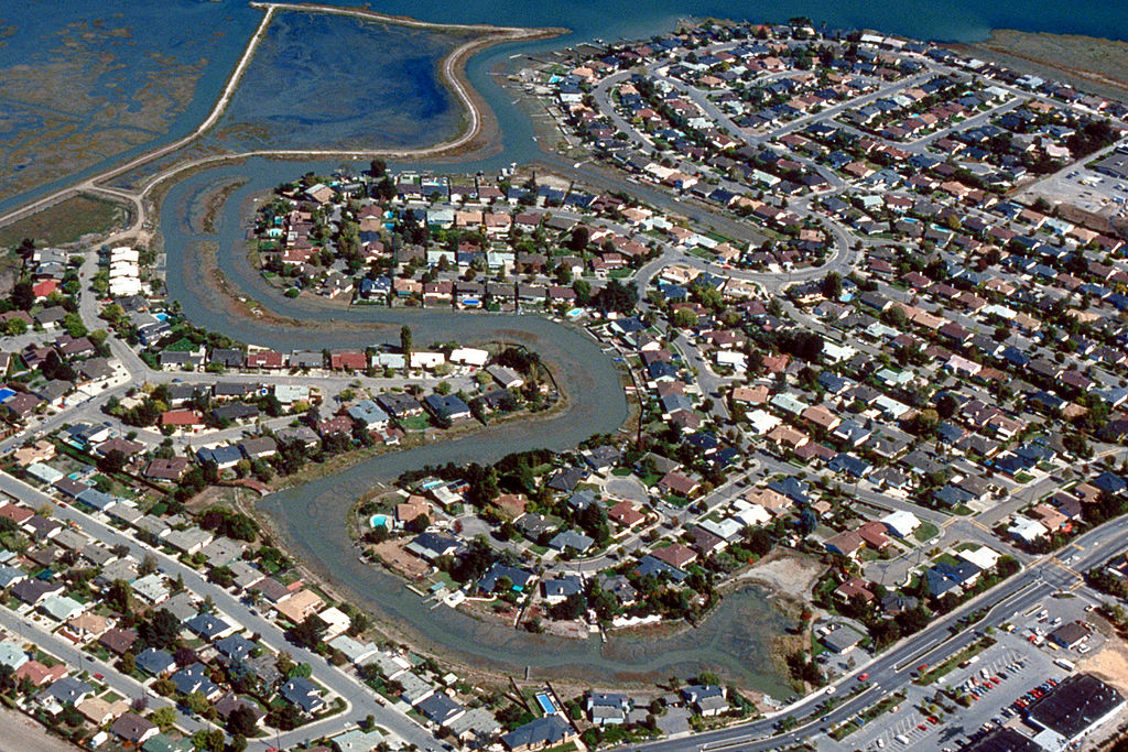
English: Aerial view of the Meadowsweet area of Corte Madera, California, USA. The city lies on the western side of upper San Francisco Bay. San Clemente Creek winds through the neighborhood. Paradise Drive is visible at the bottom of the picture. View is to the northeast.
Coordinates: 37°55′20.21″N 122°30′14.16″W / 37.9222806°N 122.5039333°W |
|||
| الموقع | Corte Madera, California, USA | |||
| التاريخ | not specified or unknown | |||
| المصدر |
U.S. Army Corps of Engineers Digital Visual Library Image page Image description page Digital Visual Library home page |
|||
| المؤلف | Robert Campbell, U.S. Army Corps of Engineers | |||
| الترخيص (إعادة استخدام هذا الملف) |
|
تاريخ الملف
اضغط على زمن/تاريخ لرؤية الملف كما بدا في هذا الزمن.
| زمن/تاريخ | صورة مصغرة | الأبعاد | مستخدم | تعليق | |
|---|---|---|---|---|---|
| حالي | 01:57، 3 مايو 2007 | | 1٬500 × 1٬001 (807 كيلوبايت) | DanMS | {{Information | Description = {{en|Aerial view of the Meadowsweet area of Corte Madera, California, USA. The city lies on the western side of upper San Francisco Bay. San Clemente Creek winds through the neighborhood. Paradise Drive is visible at the b |
استخدام الملف
الصفحة التالية تستخدم هذا الملف:
الاستخدام العالمي للملف
الويكيات الأخرى التالية تستخدم هذا الملف:
- الاستخدام في bg.wikipedia.org
- الاستخدام في cs.wikipedia.org
- الاستخدام في en.wikipedia.org
- الاستخدام في es.wikipedia.org
- الاستخدام في fa.wikipedia.org
- الاستخدام في it.wikipedia.org
- الاستخدام في pl.wikipedia.org
- الاستخدام في pt.wikipedia.org
- الاستخدام في sh.wikipedia.org
- الاستخدام في sr.wikipedia.org
- الاستخدام في uz.wikipedia.org