ملف:Buffalo New York aerial view.jpg
حجم هذه المعاينة: 800 × 562 بكسل. الأبعاد الأخرى: 320 × 225 بكسل | 640 × 449 بكسل | 1٬024 × 719 بكسل | 1٬280 × 899 بكسل | 1٬500 × 1٬053 بكسل.
الملف الأصلي (1٬500 × 1٬053 بكسل حجم الملف: 564 كيلوبايت، نوع MIME: image/jpeg)
| هذا ملف من ويكيميديا كومنز. معلومات من صفحة وصفه مبينة في الأسفل. كومنز مستودع ملفات ميديا ذو رخصة حرة. |
| الوصف |
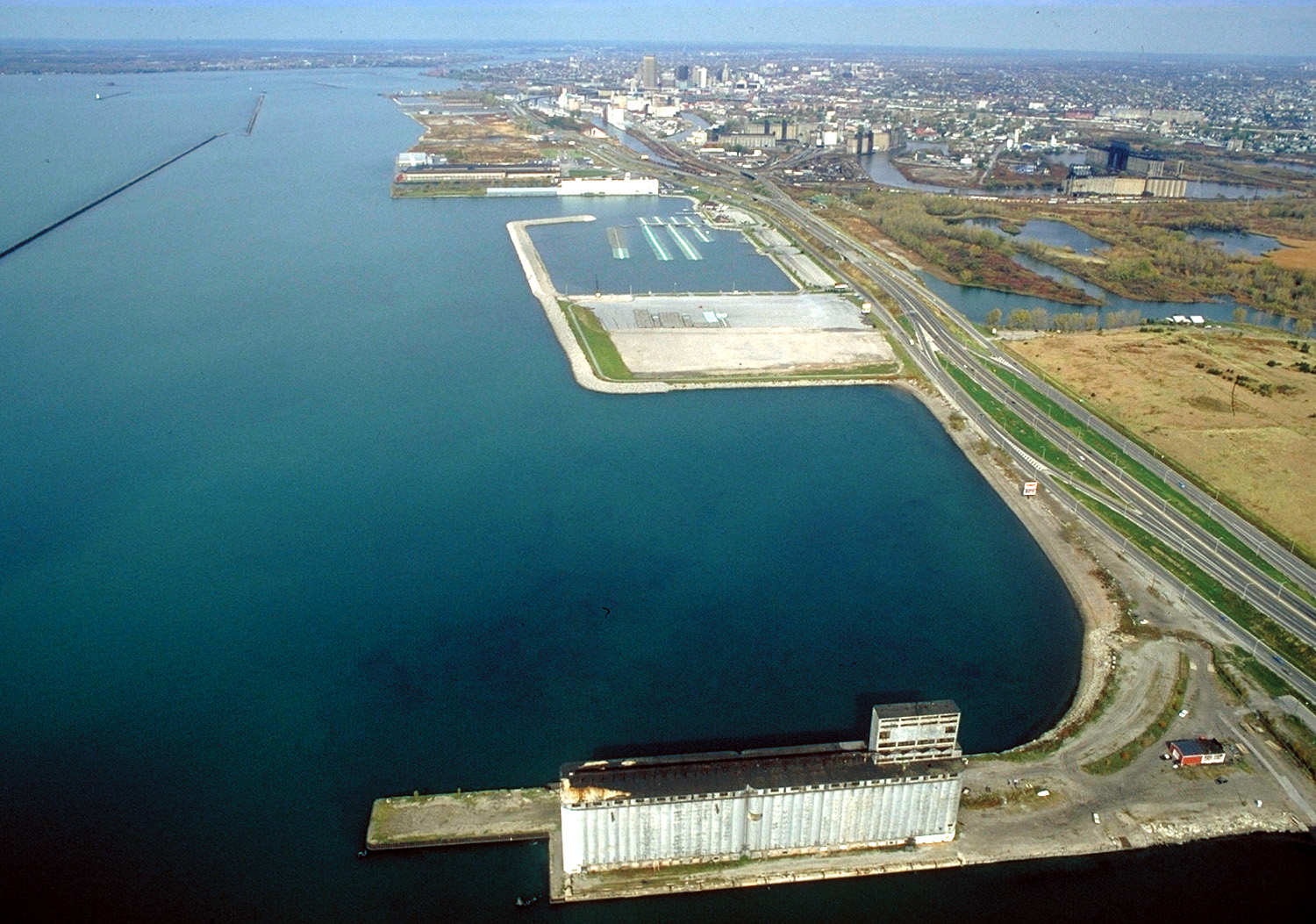
English: Aerial view of Buffalo, New York, USA, on the lower end of Lake Erie. The view is north along the shoreline toward the Niagara River. New York State Route 5, the Buffalo Skyway, runs north–south along the harbor. |
|||
| التاريخ | ||||
| المصدر |
U.S. Army Corps of Engineers Digital Visual Library Image page Image description page Digital Visual Library home page |
|||
| المؤلف | Ken Winters, U.S. Army Corps of Engineers | |||
| الترخيص (إعادة استخدام هذا الملف) |
|
|||
| الموقع | Buffalo, New York, USA |
| موقع الكاميرا | | هذه وغيرها من الصور في مواقعها على: خريطة الشارع المفتوحة |
|---|
تاريخ الملف
اضغط على زمن/تاريخ لرؤية الملف كما بدا في هذا الزمن.
| زمن/تاريخ | صورة مصغرة | الأبعاد | مستخدم | تعليق | |
|---|---|---|---|---|---|
| حالي | 16:06، 31 مارس 2007 | | 1٬500 × 1٬053 (564 كيلوبايت) | DanMS | {{Information | Description = {{en|Aerial view of Buffalo, New York, USA, on the lower end of Lake Erie. The view is north along the shoreline toward the Niagara River. New York State Route 5, the Buffalo Skyway, runs north–south along the harbor.}} |
استخدام الملف
الصفحة التالية تستخدم هذا الملف:
الاستخدام العالمي للملف
الويكيات الأخرى التالية تستخدم هذا الملف:
- الاستخدام في en.wikipedia.org
- الاستخدام في hi.wikipedia.org
- الاستخدام في kn.wikipedia.org
- الاستخدام في ko.wikipedia.org